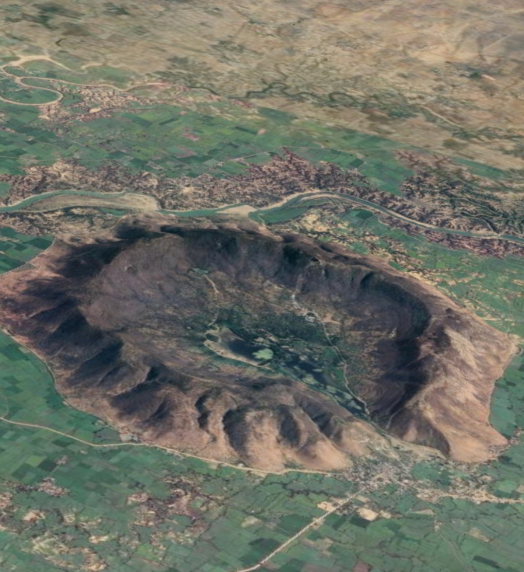
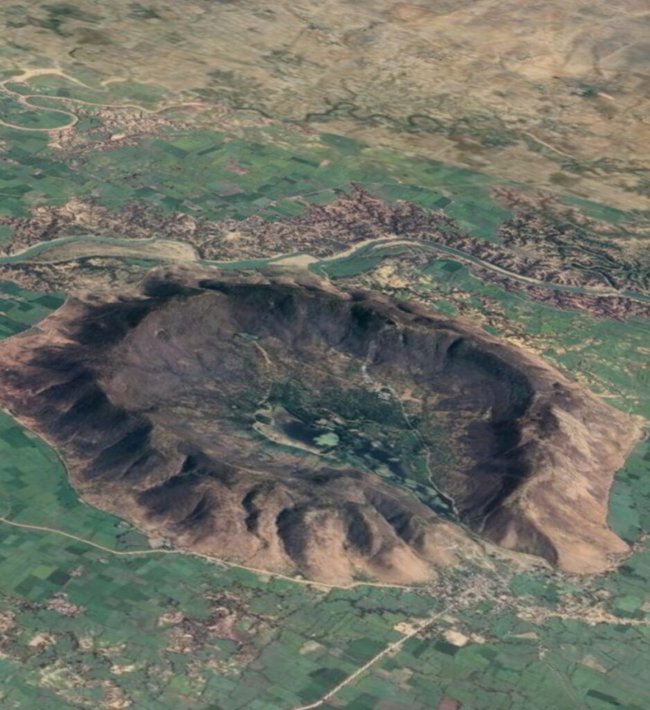
Ramgarh crater, also known as Ramgarh structure, Ramgarh Dome and Ramgarh astrobleme, is a meteor impact crater of 3.5 kilometers (2.2 mi) diameter in Kota plateau of Vindhya range located adjacent to Ramgarh village in Mangrol tehsil of Baran district in Rajasthan state of India. It is designated as a National Geological Monument.it is also India first geo heritage site. When formally accepted as the third crater in India, its diameter size would be between the two already confirmed craters in India – Dhala in Madhya Pradesh with 14 km diameter and Lonar in Buldhana district of Maharashtra with 1.8 km diameter.
Place to visit:
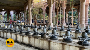
- Bhanddevara temple :The Bhand Devara Temple, a 10th-century Shiva temple in the style of the Khajuraho Group of Monuments, is located near the centre of the crater.
- Ramgarh mata temple: The temple of Krishnai Annapurna Mataji is situated on the Ramgarh hill. Here, halwa puri made in pure ghee is offered daily. The idols of Krishnai Annapurna Mataji are situated in a natural cave on the Ramgarh hill. Jhala Jaleem Singh had constructed 750 stairs to reach the temple.
- Ramgarh fort
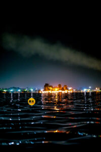
- Ramgarh wetland
- Pushkar sarovar
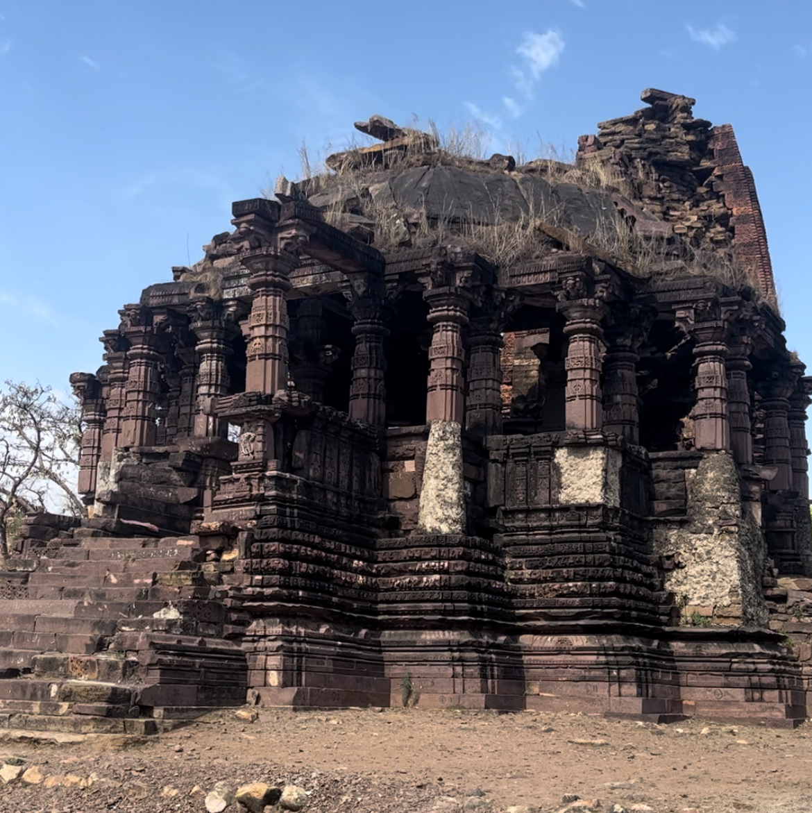
Geography: Ramgarh rivulet flows from the south-west chasm of the crater and it becomes a tributary of Parvati river 4 km in the west. There are several other gullies and rills formed with radial and centripetal drainage. Radial streams flow into the Parbati River, a tributary of Chambal River.
Background: The crater is yet to be fully investigated in a systematic way. In 1869, crater was first visited by geologist Frederick Richard Mallet of Geological Survey of India (GSI). Rai Bahadur Kishan Singh Rawat (1850-1921), a colonial era Indian explorer and cartographer, was first to map it on a small scale.
How to reach:
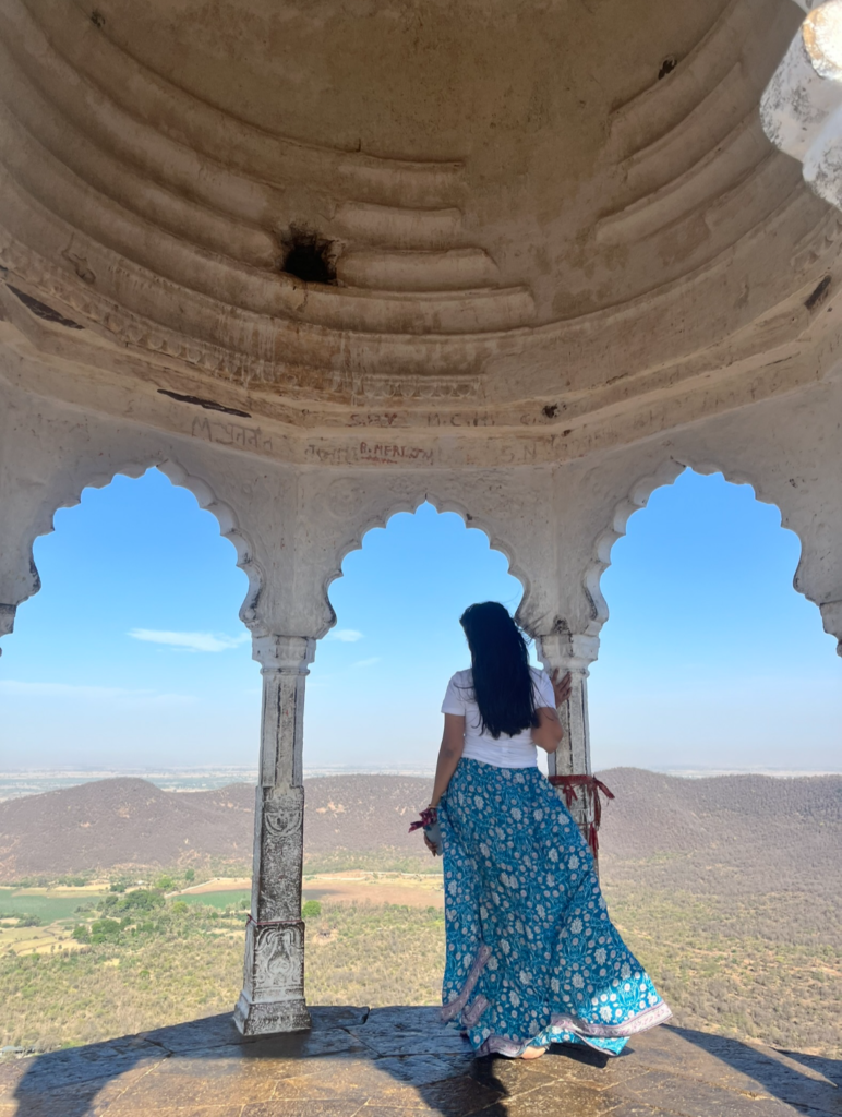
The crater lies 40 km north of Baran, 60 km from Delhi Mumbai Expressway, 110 km east of Kota, 250 south of Jaipur and 500 km south of Delhi. It is 200 km west of Dhala crater in Madhya Pradesh and 745 km north of Lonar crater in Maharashtra.


